|
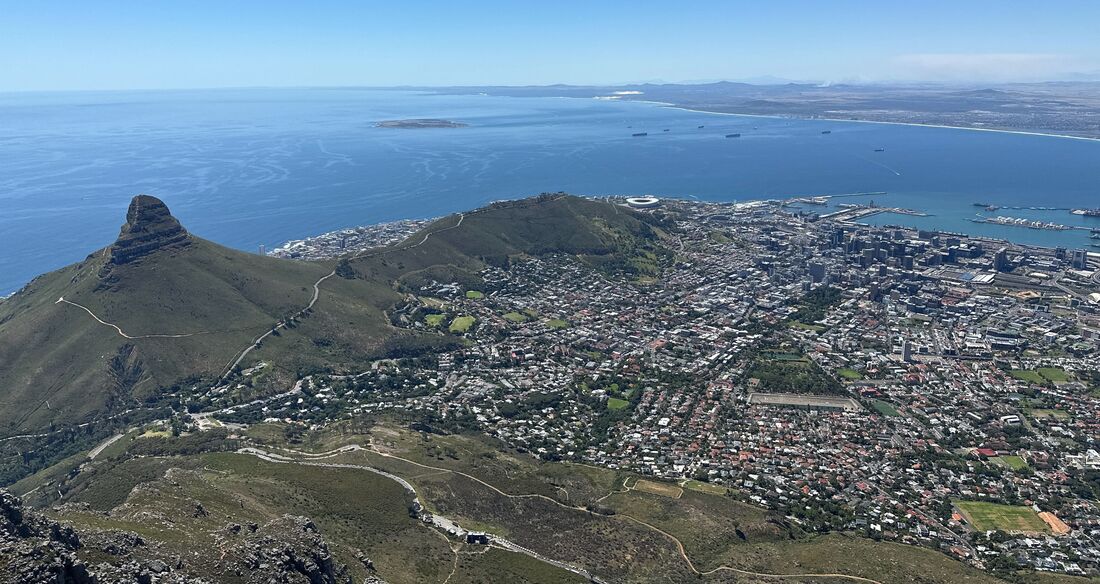
By Kyle Turner After a tense battle with downtown NYC traffic and couple of flight delays, the East Coast crew (consisting of Joaquim Goes, Helga Gomes, and Jinghui Wu from Columbia University, Charles Kovach from NOAA STAR, and myself from the Tzortziou Bio-Optics Lab) safely crossed the Atlantic Ocean and the Equator and arrived in Cape Town, South Africa for the BioSCape field campaign. BioSCape is an international collaboration between NASA and other U.S. and South African organizations to study the rich biodiversity and ecology of the Greater Cape Floristic Region (GCFR), across terrestrial and aquatic domains.
Our group is one of the few aquatic-focused science teams on the project, with the goal of mapping phytoplankton functional types (PI: Wu) and carbon fluxes (PI: Tzortziou) from air- and space-based optical remote sensing. Our study has three sampling areas: St. Helena Bay, Walker Bay, and Algoa Bay, which we will be visiting over the next few weeks in conjunction with targeted overflights of NASA aircraft equipped with two state-of-the-art hyperspectral spectrometers, AVIRIS-NG and PRISM....
0 Comments
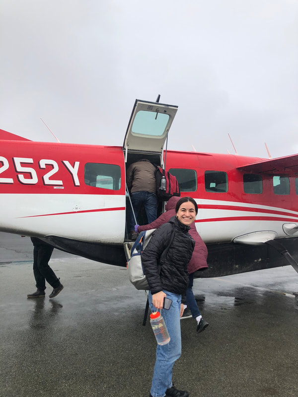
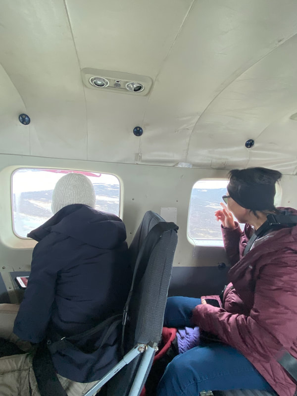
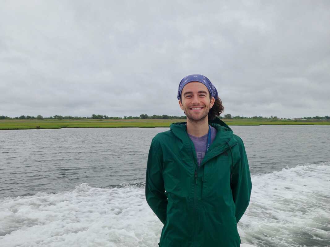
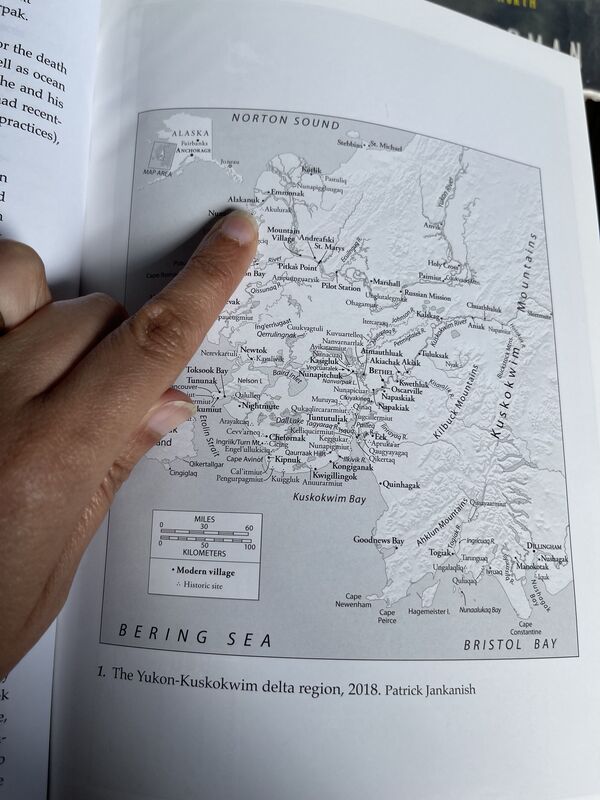
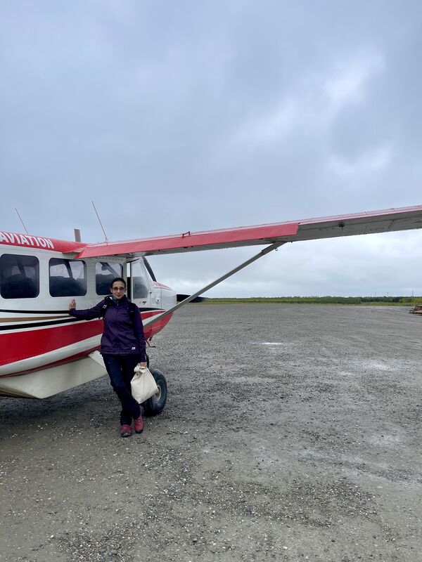
By Alana Menendez We were above the clouds for the first half of the flight from Bethel to Emmonak, our excitement bottled by the white sheets below us. But as we got closer, glimpses of the rivers and sloughs of the Yukon Delta began to emerge. I was reminded of sifting through optical satellite imagery of this region and seeing mostly clouds but reveling in any clear pixels. Ah, but the resolution was better! Fellow passengers pointed enthusiastically to moose wading in ponds. A woman sitting behind Maria showed us where she would ice fish: all beautiful reminders that we weren’t just approaching our field site but a vast home. By Dean Wilson Gelling Dean at the Great South Bay, Photo by Minsun Lee When I set foot on the campus of Columbia's Lamont-Doherty Earth Observatory (LDEO) for the first time in May, I had no idea what I was getting myself into. I was selected alongside 30 students as a participant in Lamont's Summer Intern program to conduct research under some of the most talented minds in geosciences. The internship took place during a time of tremendous change in my life, as I was in the process of transferring to Columbia University.
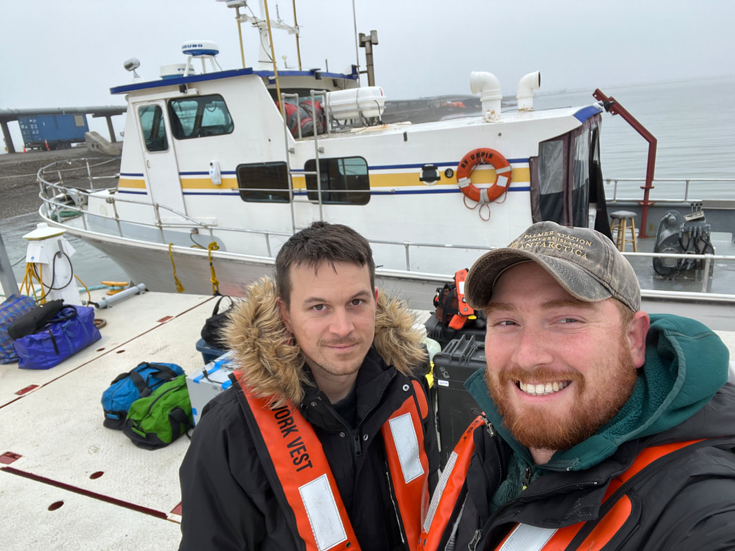
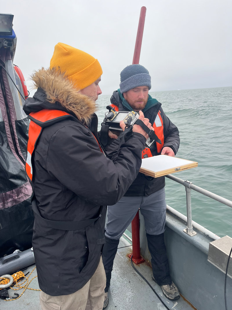
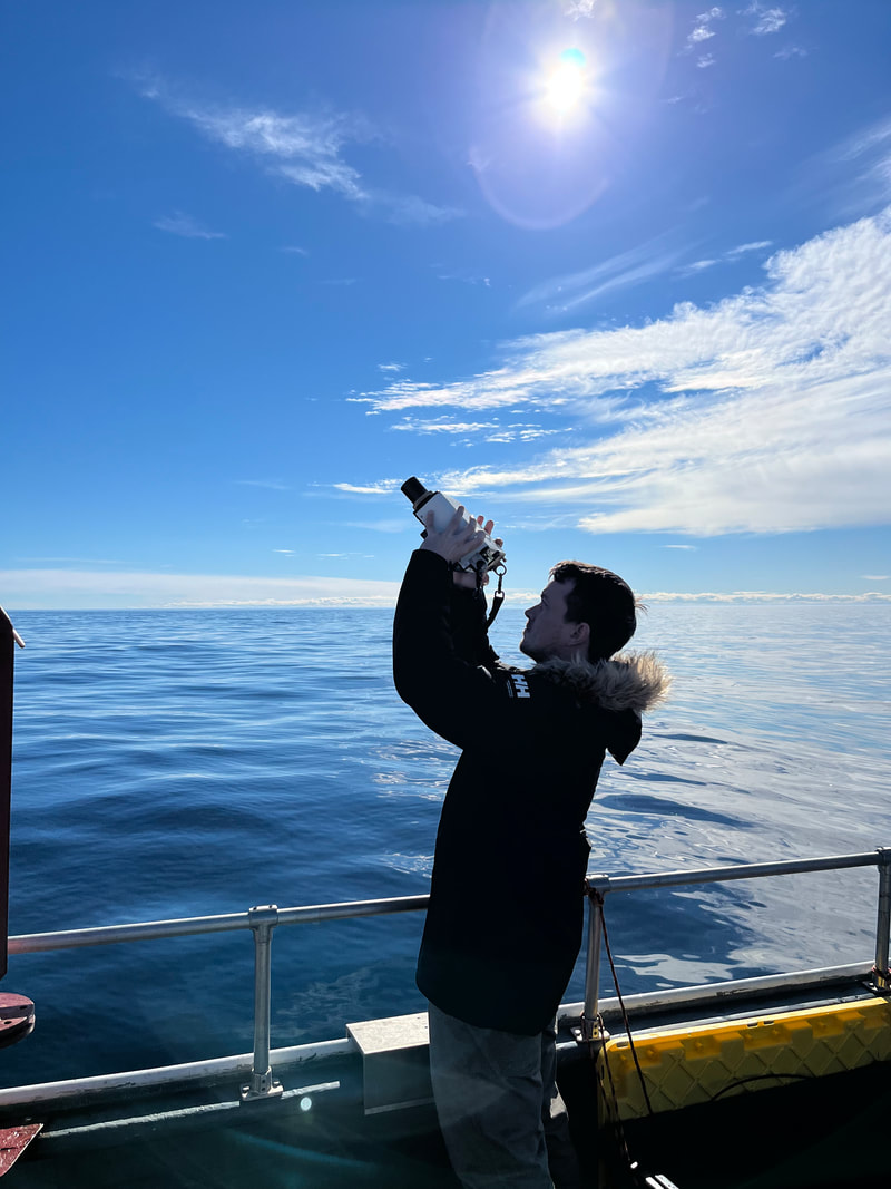
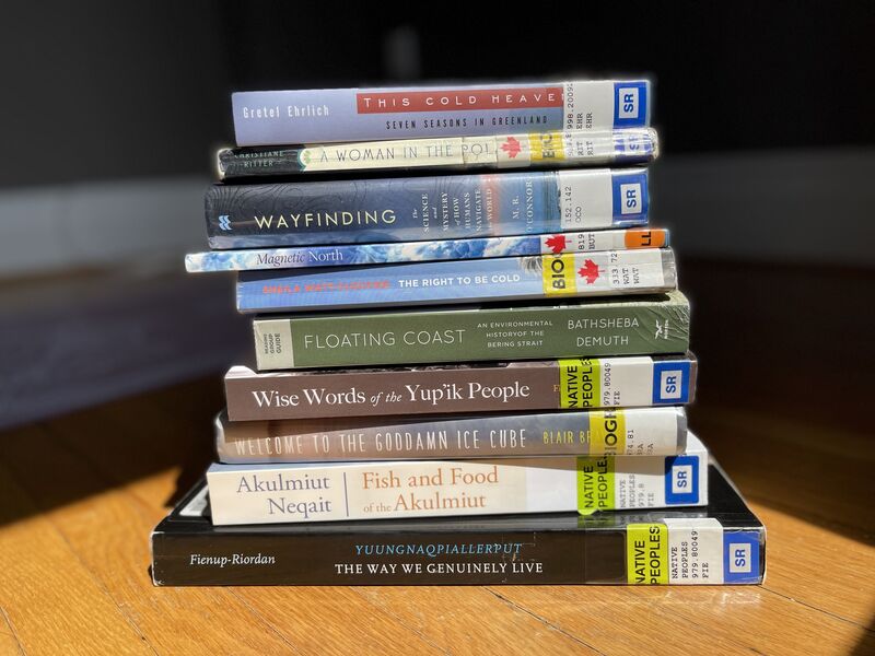
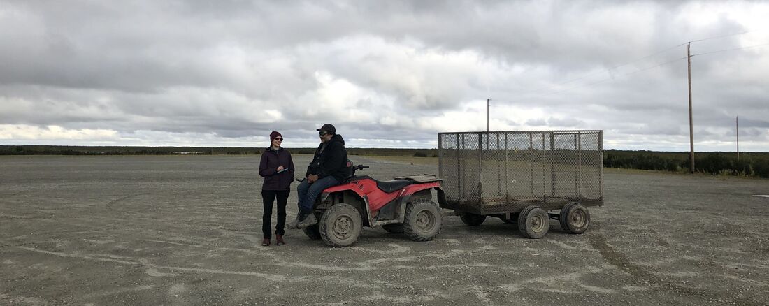
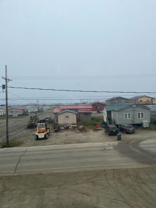
I had experience in environmental education and conservation but never worked in a research setting. Yet, when offered the mentorship of Dr. Joaquim Goes and Dr. Maria Tzortziou, I dove right in By Jonathan Sherman Kyle and Jonathan loading equipment onto R/V Ukpik We recently returned home from a successful field campaign along the North slope of Alaska, where we studied the optical properties of coastal Arctic waters to support a research project on remote sensing of environmental change in arctic coastal aquatic ecosystems. This is one of our lab’s projects focusing on Arctic systems with collaborators from the Navel Research Laboratory, NASA, and the University of Alaska Fairbanks. For this project, we travelled to Prudhoe Bay, the terminus of the “Dalton highway” built to support the Trans-Alaska pipeline originating in the many oil fields of Prudhoe Bay. At Prudhoe Bay, we met Captain Mike Fleming and boarded R/V Ukpik, a 50-ft research vessel supporting scientific Arctic research for 35 years. Aside from overcast skies (not ideal for some of our above-water radiometry), we enjoyed great weather that allowed us to sample most of our intended stations over five days. Photo Credit: Emily Raboteau and Maria Tzortziou I was invited by my colleague Dr. Maria Tzortziou to join her on a research trip to the Yukon Delta where her NASA-funded team is studying coastal changes due to the climate crisis. (We are being financed by an interdisciplinary research grant through City University of New York.) As a climate writer interested in environmental justice, I feel excited and fortunate to be partnering with an environmental scientist who can help me understand the larger picture of global warming and its implications for frontline communities such as here in the remote village of Alakanuk, Alaska, by sharing her scientific observations. While Maria’s team continues methodically gathering water samples and taking satellite imagery that over time have a story to tell about environmental change in the most rapidly warming part of the planet, we have come for five days to gather stories from members of the local Yup’ik community – some of them collaborators in the larger research program - about what changes they have observed in their home place, how they are adapting to these changes on sociocultural and spiritual levels, stewardship, and traditional ecological knowledge.
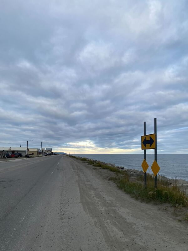
By Kyle Turner Photo Credit: Kyle Turner, Jonathan Sherman We had a long but safe and successful trip to Nome, AK! Jonathan Sherman and I made it to all of our quick layovers leaving from New York City earlier this morning (but the last plane had to hold for us). We met Chelsea Lopez while boarding for Nome at the Anchorage Airport. As we landed in Nome, Scott Freeman picked us up from the airport, and the team loaded all of our supplies and instruments and headed to the ADF&G (Alaska Department of Fish and Game) bunkhouse, where we were staying in town. Our collaborator Jenefer Bell, Arctic Area Research Biologist with ADF&G, has been so helpful and supportive throughout the planning of our coastal Arctic fieldwork this summer! Our plan over the next few days is to have a 3-day trip with Captain Adem Boeckmann and his large fishing vessel Anchor Point to transect south and collect measurements across a strong marine-coastal-estuarine gradient in Norton Sound and near the Yukon River Delta. Saturday looks like our one chance at (some) sunshine, so we plan to spend Friday steaming and collect the majority of data on Saturday.
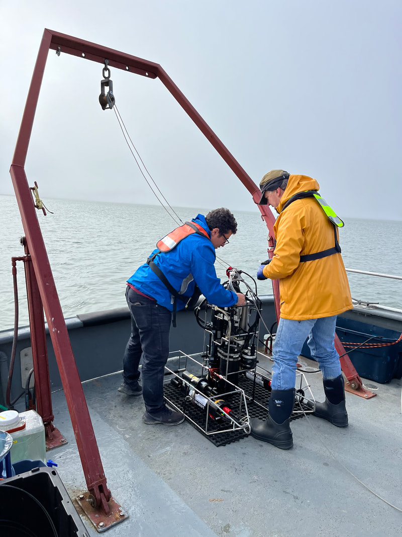
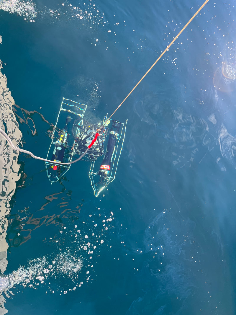
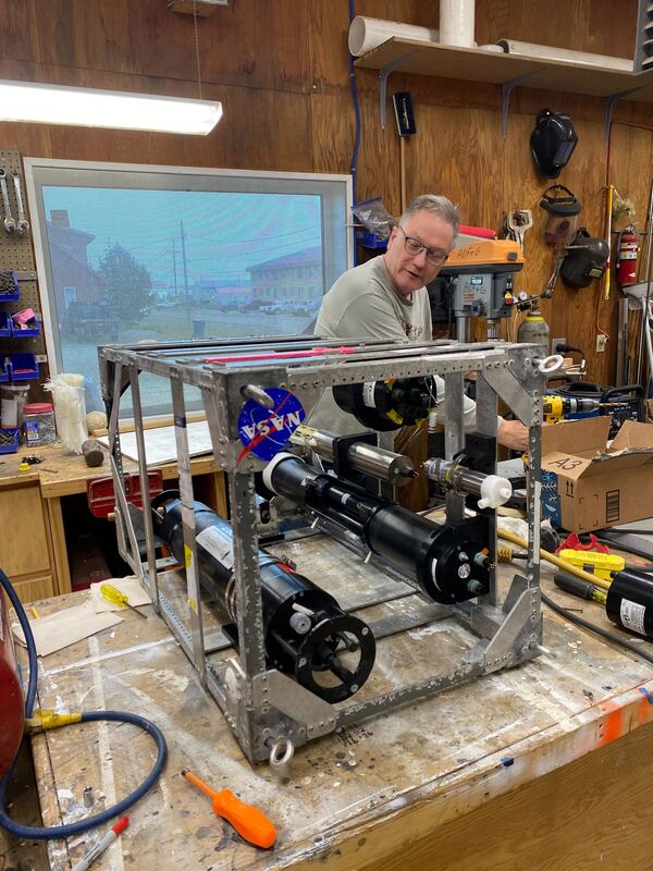
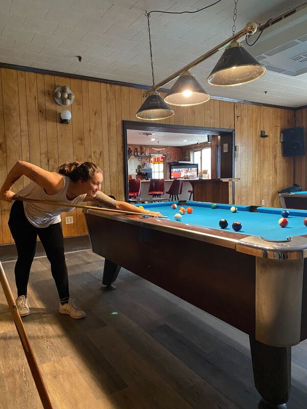
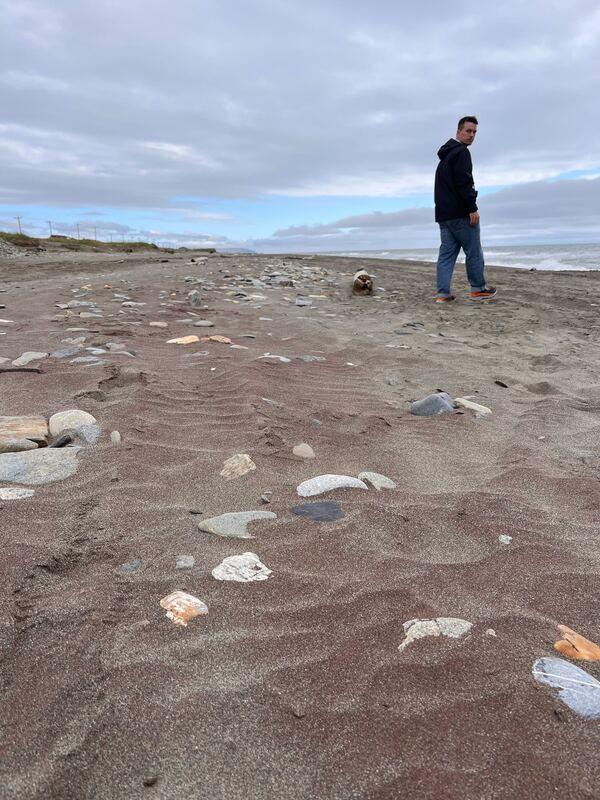
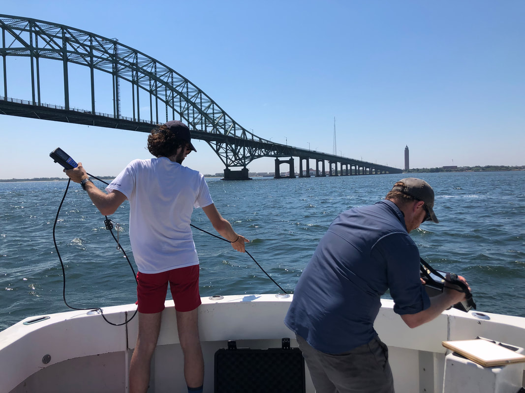
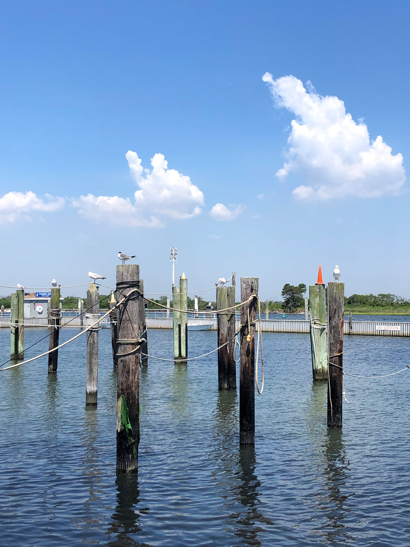
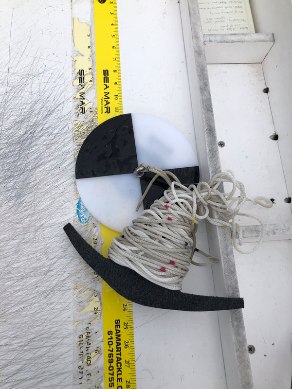
Meanwhile, we've been enjoying the quaint but small town of Nome. We played pool at the local saloon, Nome's oldest saloon since 1900 with an old "gold rush" facade. At that time, Nome was one of Alaska's largest cities, with people flocking to strike it rich in the golden sands. We walked the beach along Norton Sound and admired a sprawling collection of old rusted machinery from Nome's "golden era". The team assembled the optics package that will be used over the next few days to collect profiles of optical parameters, including absorption and backscattering, critical for linking in-situ measurements to satellite imagery. The weather is slightly chilly, but not too bad! I haven't had to pull out my heavy winter coat yet. By Shangtong LiPhoto Credit: Shangtong Li96.8 F, radiant sun, clear sky, and a cool breeze brings the fresh briny smell of the sea. Tzortziou Bio-Optics Lab members boarded Patty Ann at the Captree State Park in Babylon, New York again—to sample stations along the Great South Bay.
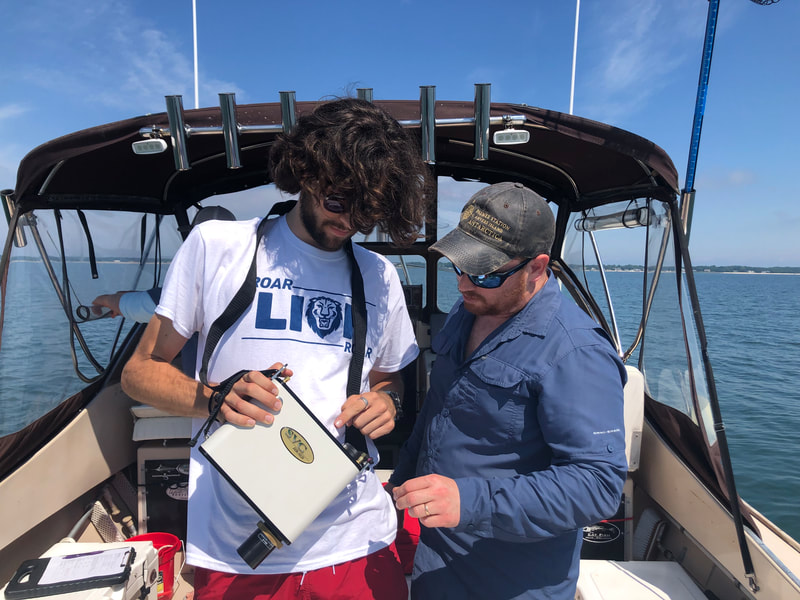
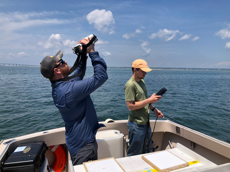
An almost cloudless day, conditions were optimal for conducting radiometric measurements of the color of the water and linking to water quality state. By Sandy Shangtong Li Photo credit: Sandy Shangtong Li On Monday, Tzortziou Bio-Optics Lab members Kyle, Dean and Sandy visited the Peconic Bay and Shinnecock Bay again to sample seven stations. Joining the fieldwork was a new undergraduate intern Andrew, funded as part of the NOAA CESSRST REU program.
This time, the team started farther west in Flanders Bay near the mouth of the Peconic River, in hopes of capturing the influence of freshwater inputs of dissolved carbon and particulate matter into the Peconic Bay. by Sandy Shangtong Li and Kyle Turner Photo credit: Minsun Lee and Shangtong Li On Wednesday, a windy and rainy day, members of the Tzortziou Lab ventured to the Great South Bay, along the southern coast of Long Island, to extend field data collection to another new region of Long Island waters.
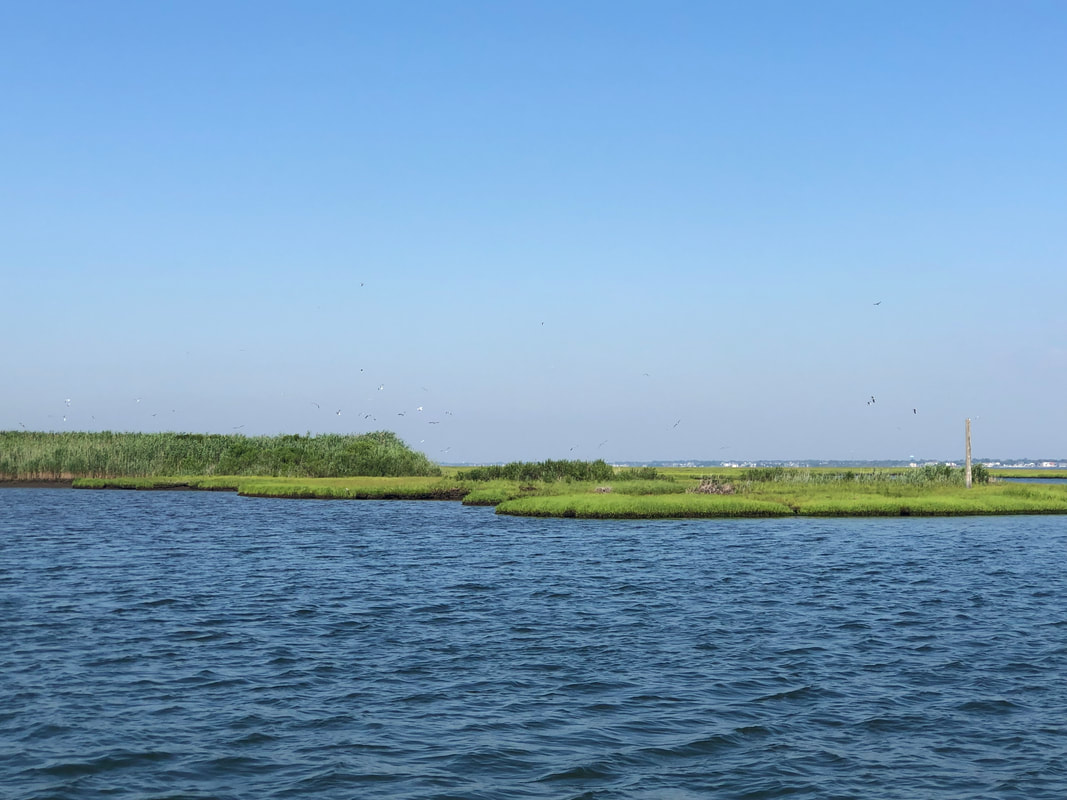
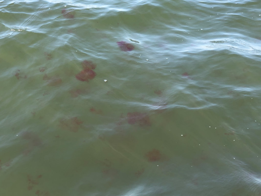
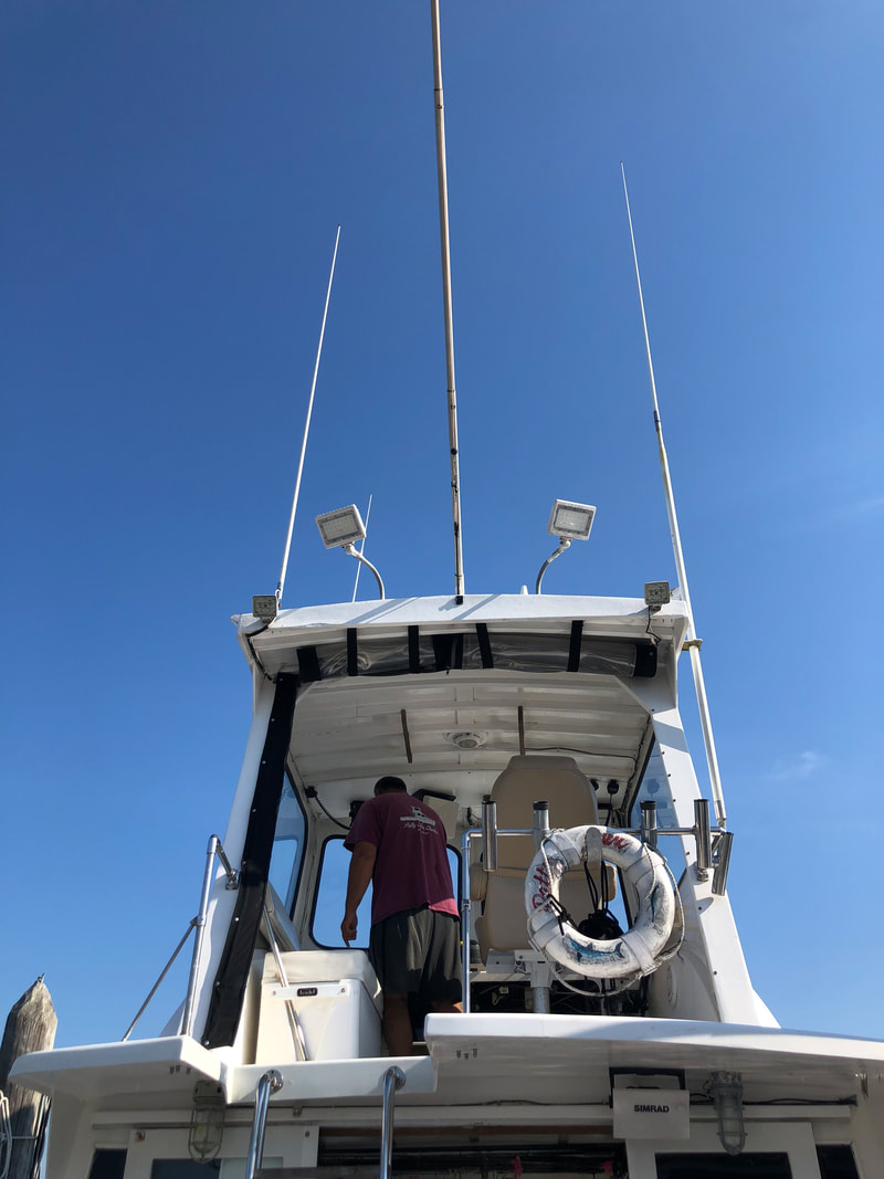
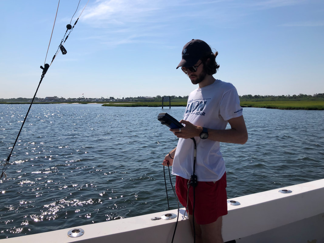
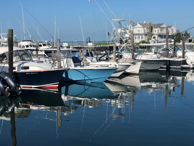
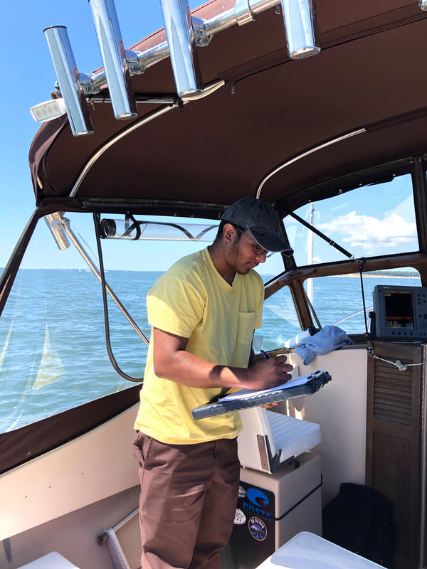
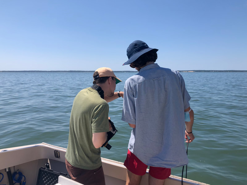
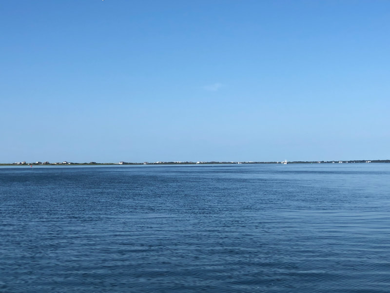
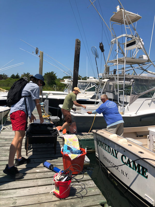
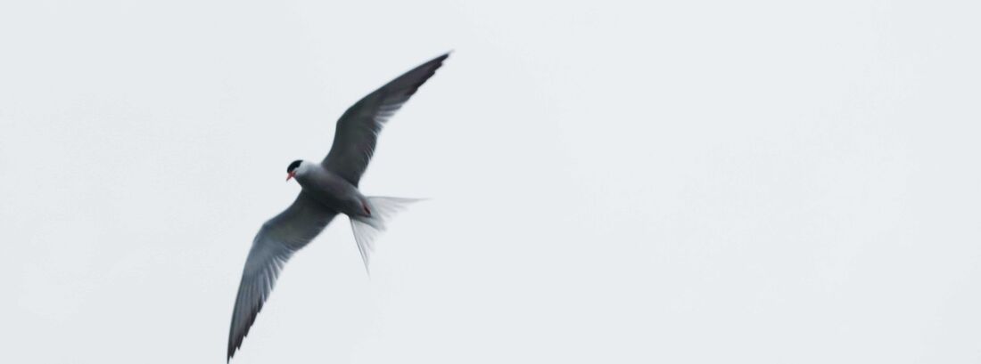
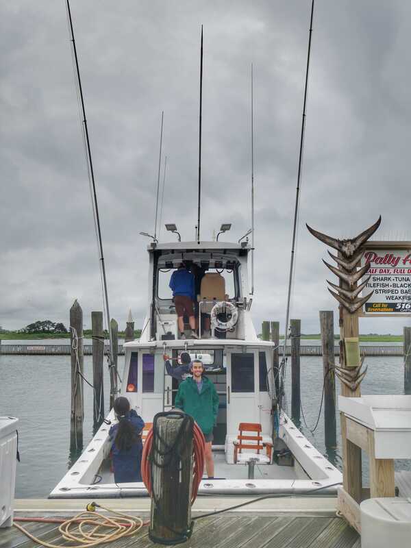
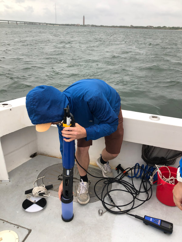
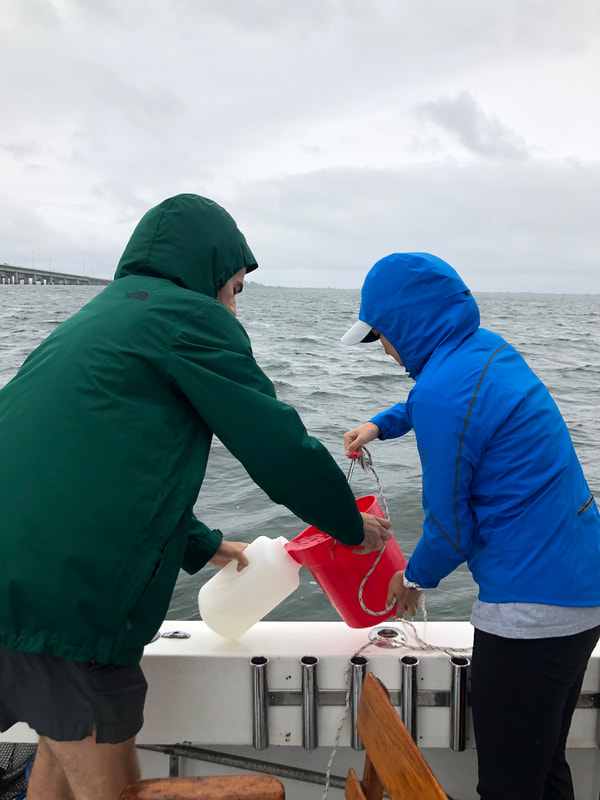
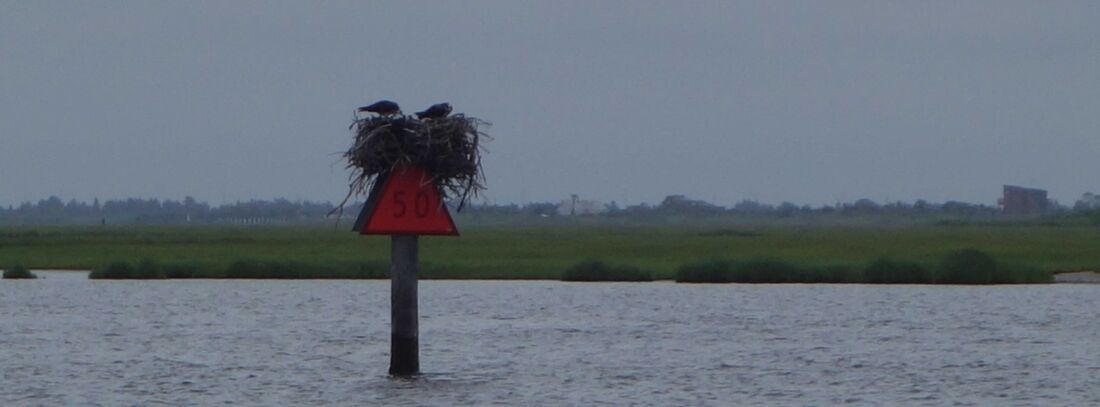
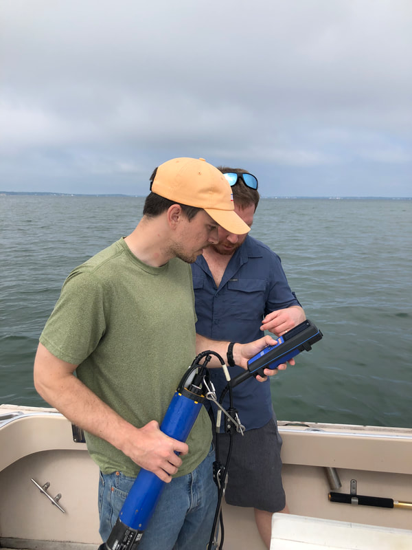
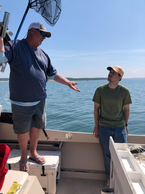
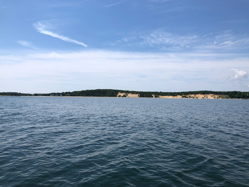
We boarded the Patty Ann, a boat operated by Captain Greg Gargiulo and crewmember Damien of Patty Ann Charters at the Captree State Park in Babylon, New York. Due to the heavy clouds and rain, the fieldwork focused on water collection (for measurements of water inherent optical properties, organic carbon quality, and phytoplankton community composition) and in-situ physical/biogeochemical profiles using the YSI EXO2 water quality sonde. Unfortunately, the radiometric measurements would have to wait for the next sunny weather trip. Greg and Damien grew up around the Great South Bay. They were let go from their old jobs due to the pandemic, and now it is their third season doing fish chartering full time. The business has been good, they said, while enjoying the view of their new office—the wheelhouse of the boat. When asked if they had observed any changes to the bay, they said that the water was cleaner when they were young. Now they have started to see red tides more frequently during summer, especially in July when the water is warmer. They suspected that fertilizer runoff and increasing temperatures are responsible for the algal blooms. As for the fish population in the bay, some species have made a comeback, such as the sand eel; while others have seemingly disappeared, such as the blackback flounder. Captain Greg has been seeing species that are not from the region, such as king mackerel and cobia from down south. According to Greg, the Blackback flounder is the best species, and the reason the whole port was established, as it was abundant and delicious. There were so many of them in the bay and sometimes people could catch twenty per person. But now, he has not seen them here for a long time. He thinks the blackback flounder’s disappearance in the bay is not due to overfishing but the expansion of residential complexes near the bay. Another factor that both Greg and Damien suspect has affected the bay’s ecology and water quality is the Bergen Point Wastewater Treatment Plant, also known as the “chocolate factory”, as the locals call it. The plant discharges treated effluent through an ocean outfall that passes beneath the Great South Bay and underneath Jones Beach Island to the Atlantic Ocean, but the pipeline has been determined to be in failing condition and need of replacement, according to the New York Governor’s Office of Storm Recovery in 2015. The construction has been ongoing since, but Greg and Damien are not confident that it will adequately prevent sewage from leaking into the bay. The final two stations the team visited were within the tidal salt marshes in the western part of the bay. It was an amazing sight to see as different species of birds flew across the lush Spartina alterniflora (smooth cordgrass). Along the boat ride, lab members saw birds diving into the water, laughing gulls flying over the boat and osprey nests on water marks. Greg and Damien said the marshes have been the same since they were kids. According to NOAA, salt marshes provide habitat for aquatic species, filter nutrients from upland sources, and help reduce the impact of coastal storms by absorbing wave energy. Marshes and wetlands play a critical role in coastal ecosystems and communities, combating rising sea levels and more frequent storms on our warming planet. by Sandy Shangtong Li and Kyle Turner On Monday, members of the Tzortziou Bio-Optics Lab—Jonathan, Kyle and summer interns Dean and Sandy — joined Captain Brad Ries from Someday Came Fishing Charters to sample nine locations in the Peconic Bay and Shinnecock Bay near the eastern end of Long Island. Throughout the day, Captain Brad Ries provided his perspective of the bay and its changes over time, as a local who has been working in the area for more than thirty years.
|
Archives
June 2023
Categories |

 RSS Feed
